Aerial Services
Professionals have been collecting aerial images with piloted aircraft and stitching them together to create aerial maps for over 100 years. Aerial photography was first practiced by the French photographer and balloonist Gaspard-Félix Tournachon, known as “Nadar”, in 1858 over Paris, France.
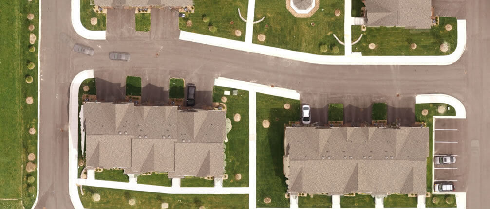
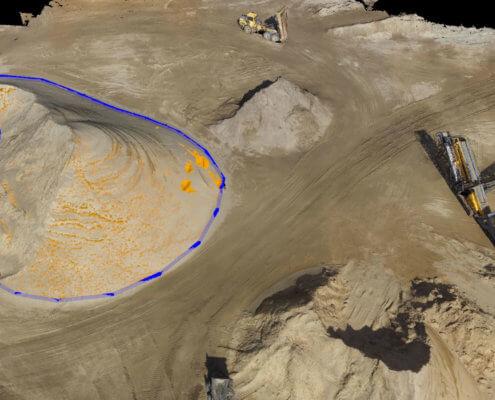
With the recent emergence of commercial drones, MEGA has developed a close range photogrammetry method capable of generating survey grade data. This new and exciting platform provides our surveyors and licensed UAS pilots a way to safely, accurately and reliably capture data with the latest remote sensors.


