Seismic Services
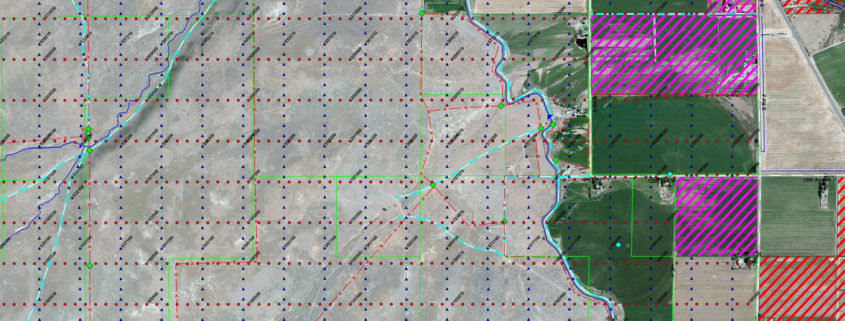
Oil and gas explorers use seismic surveys to produce detailed images of the various rock types and their location beneath the Earth’s surface. This information is then used to determine the location and size of oil and gas reservoirs. MEGA has been providing a wide range of services to the Gas and Oil Industry since our inception. These services include Seismic Surveying (both 2D and 3D surveys) ranging from 1 mile to 1,000 miles and 1 square to 20 squares respectively.


